Supports showing map images on macOS systems
Used as part of the implementation to create map visualizations
Geoapify MCP Server
Convert addresses into GPS coordinates for mapping, and optionally create an image of those coordinates using the Geoapify server.
Facility
You'll need to get an API key from Geoapify , and set it as an environment variable named GEO_APIKEY
.
Your claude_desktop_config.json
will look like this after:
You'll notice we include all the dependencies in our args
.
Tools
get_gps_coordinates
Used to get GPS coordinates from the API for creating GEOJSON, etc.
create_map_from_geojson
Create a map image and show it. (Showing only works on MacOS for now.)
Example Usage
Get GPS Coordinates
Result: Attached JSON file
Returns a GeoJSON file.
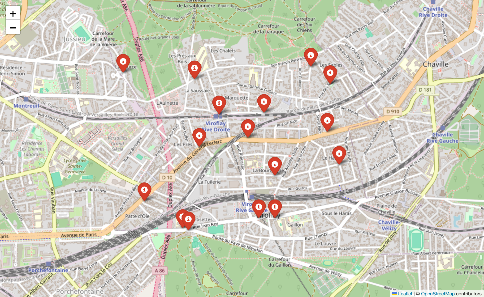
Create a Map Image
Result:
LICENSE
MIT
This server cannot be installed
remote-capable server
The server can be hosted and run remotely because it primarily relies on remote services or has no dependency on the local environment.
Converts addresses to GPS coordinates and creates map visualizations using the Geoapify API, allowing Claude users to generate GeoJSON data and map images from location lists.
Related Resources
Related MCP Servers
- -securityFlicense-qualityProvides IP geolocation services using IP-API.com without requiring an API key, enabling users to obtain detailed location and network information for any IP address in a clean, formatted output.Last updated -62TypeScript
- AsecurityAlicenseAqualityProvides access to Google Maps API functionality including geocoding, place search, direction routing, and distance calculations through a structured MCP interface.Last updated -47JavaScriptMIT License
- AsecurityAlicenseAqualityAn MCP server that gives LLMs access to geographic data conversion tools, enabling transformations between different formats like WKT, GeoJSON, CSV, TopoJSON, and KML, as well as performing reverse geocoding.Last updated -942011JavaScriptMIT License
- -securityFlicense-qualityAn MCP tool that integrates with Amap API services, allowing AI to access geographic information, weather data, and route planning.Last updated -6Python