Geoapify MCP サーバー
マッピングのために住所を GPS 座標に変換し、オプションで Geoapify サーバーを使用してそれらの座標の画像を作成します。
施設
Geoapifyから API キーを取得し、それをGEO_APIKEYという名前の環境変数として設定する必要があります。
claude_desktop_config.jsonは次のようになります。
"MCP Map Demo": {
"command": "uv",
"args": [
"--directory",
"/PATH/TO/THIS/REPO",
"run",
"--with",
"fastmcp",
"--with",
"requests",
"--with",
"folio",
"--with",
"selenium",
"--with",
"pillow",
"fastmcp",
"run",
"/PATH/TO/THIS/REPO/server.py"
],
"env": {
"GEO_APIKEY": "YOURAPIKEY"
}
}
すべての依存関係がargsに含まれていることがわかります。
ツール
get_gps_coordinates
GEOJSON などを作成するために API から GPS 座標を取得するために使用されます。
create_map_from_geojson
地図画像を作成して表示します。 (表示は現時点では MacOS でのみ機能します。)
使用例
GPS座標を取得する
can you create a geojson of the following locations including their gps coordinates: 179 avenue du Général Leclerc, côté Rive Gauche
158 avenue du Général Leclerc, côté Rive Droite à l'angle de la rue Jules Herbron
112 avenue du Général Leclerc, côté Rive Droite
34 avenue du Général Leclerc, côté Rive Droite
En face du 57 rue Gaston Boissier, à côté de la borne
Route du Pavé de Meudon - à côté du chêne de la Vierge
6 avenue de Versailles (près du centre aquatique des Bertisettes)
3 places sur parking de la rue Costes et Bellonte
Rue Joseph Chaleil
18 rue des Sables – à côté de la crèche
25 sente de la Procession
33 rue Joseph Bertrand
Place Saint Paul
Place de la bataille de Stalingrad
Placette croisement avenue Pierre Grenier / avenue Robert Hardouin
107 avenue Gaston Boissier (en face de la caserne des pompiers)
結果:添付されたJSONファイル
GeoJSON ファイルを返します。
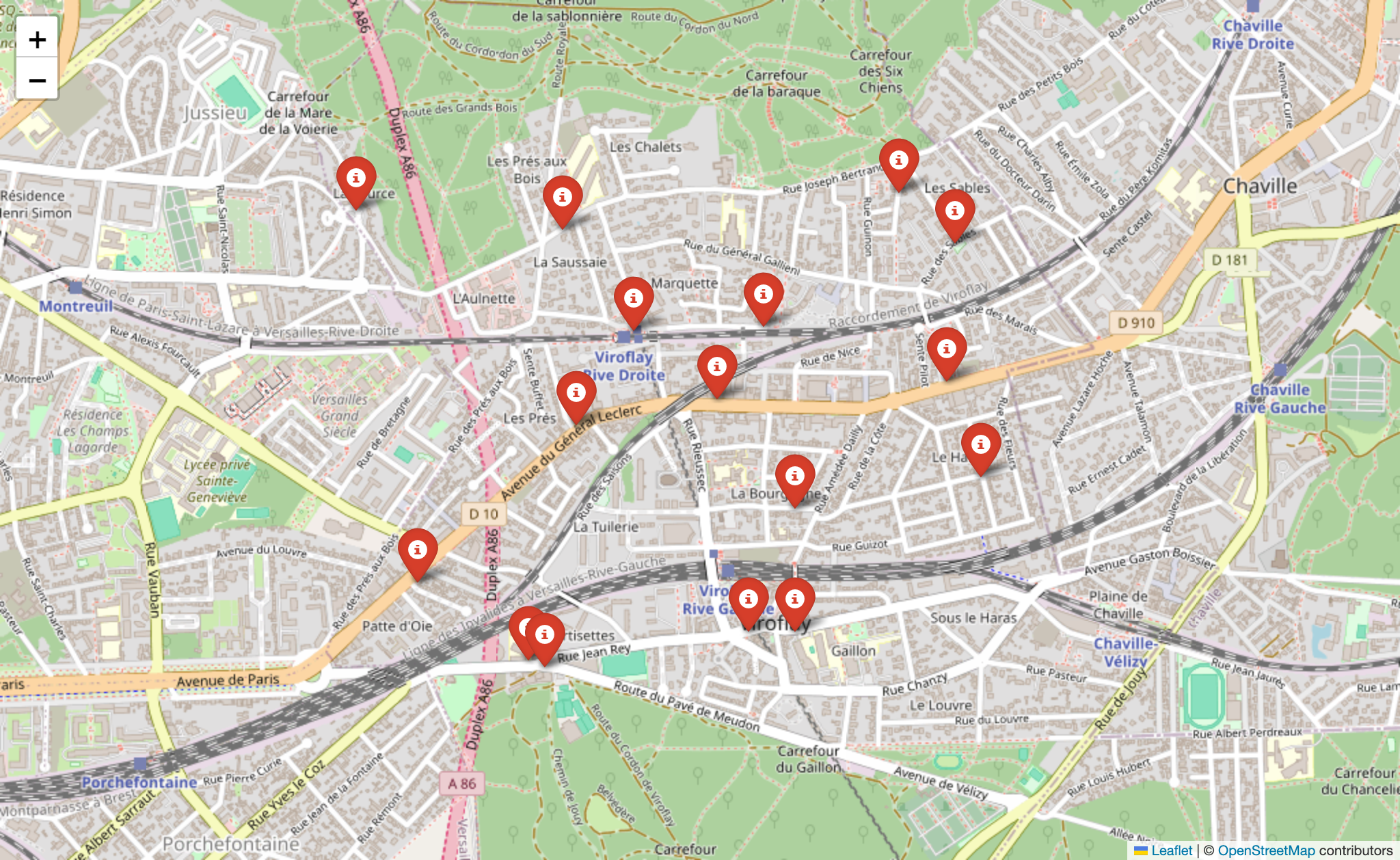
マップイメージを作成する
can you create a map from my attached geojson file?
添付のJSONファイル
結果:
ライセンス
マサチューセッツ工科大学